Avon & Athens
Southeastern Fayette County near Athens, where developed streets meet rural land and public recreation areas.
ZIP boundaries are for mail delivery, not official neighborhood borders. Nearby landmarks are labeled as such; always check an address before visiting.
Where the city thins out
The southeastern edge of Fayette County looks and feels less urban than the central ZIPs. Roads toward Athens and the surrounding countryside pass fields, scattered homes and smaller commercial clusters. This is a place to travel with a destination in mind, not to expect a continuous line of shops and sidewalks. Take particular care on narrow roads with fast-moving traffic. If you want to stop for a photograph, choose a legal pull-off rather than a private farm entrance or a roadside shoulder with poor visibility.
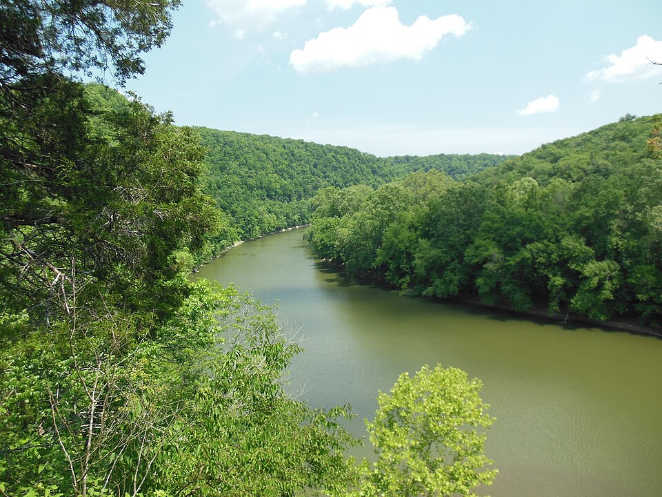
Jacobson Park is a practical public recreation option in the wider east/southeast area, though its exact address should always be checked before planning a ZIP-specific route. Visitors can look up current lake, trail and facility information with the city. The Raven Run image here is a separate real nature photograph, not a photo of Jacobson Park. Natural areas around the county have different rules. Confirm where you may walk or park before making the journey.
Rural space is working space
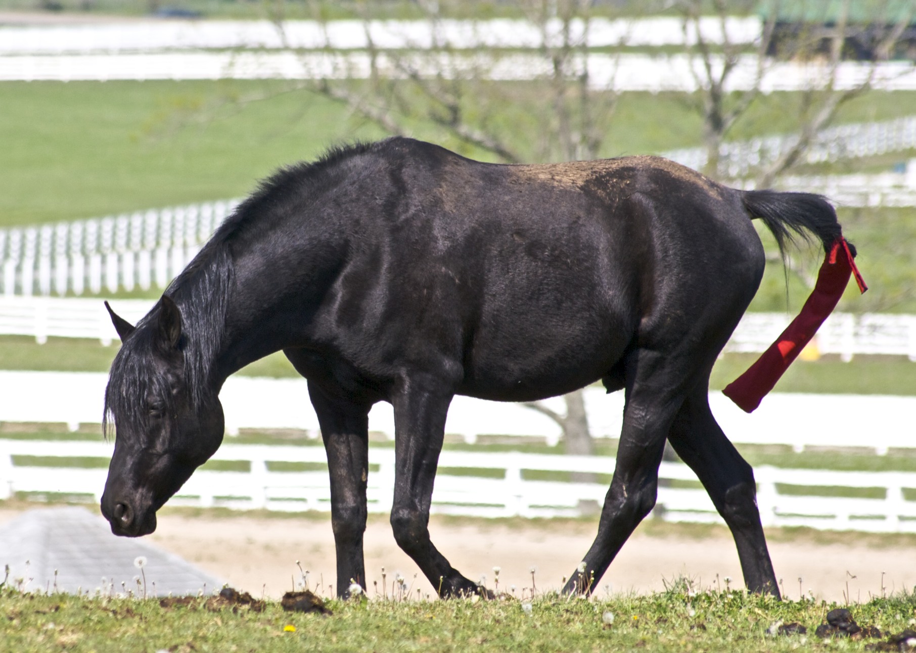
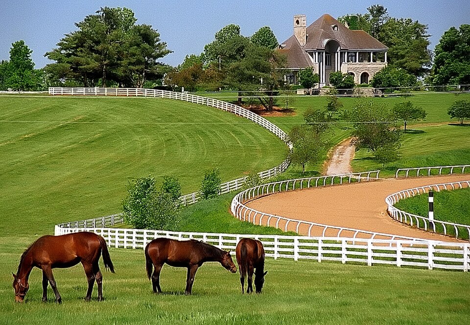
The pastoral views that draw people toward southeastern Lexington are not an open-access attraction. Farms involve animals, equipment and homes; fences and gates are there for a reason. Stay on public rights-of-way and arrange a formal tour if you want to meet horses or learn about farm work. The Kentucky Horse Park photograph is included as an example of an established public horse destination elsewhere in the county, not as a picture of an Athens-area farm. This distinction matters for visitor safety and for the people who live on the land.
As newer residential pockets meet older rural parcels, the area's identity becomes hard to summarize with one word. You may see a subdivision near open pasture or a familiar urban service several miles from a quiet country road. That variety is part of the appeal but also a reminder to plan travel realistically. Fuel, food and rest stops may be farther apart than they are downtown. Check the route and weather before heading out, especially if you intend to spend time at a park.
A low-key route
Start with a confirmed public destination, such as a city park, then use a scenic road only as part of the drive, not as an excuse to trespass. Allow time for unhurried travel and keep your attention on the road rather than trying to photograph views from the driver's seat. If your main interest is horses, compare the public Horse Park's programs with a pre-booked farm tour; both are more informative than looking through a fence from a moving car. In rain or winter, check site conditions before leaving.
40516 is a broad postal label, and particular landmarks near its margins may be claimed by neighboring guides too. Rather than pretending to know every boundary from a short description, this page explains the character of the southeast county edge and labels its photos honestly. For a current meal or service stop, use an exact address and the directory. For recreation, consult the relevant park operator. The area's most memorable feature is the visible transition between an expanding city and a working Bluegrass landscape.