Zandale & Tates Creek
Established south-side neighborhoods along the Tates Creek corridor, with parks and local services.
ZIP boundaries are for mail delivery, not official neighborhood borders. Nearby landmarks are labeled as such; always check an address before visiting.

Everyday south Lexington
The Tates Creek corridor is a useful way to orient yourself in this established south-side area. Housing, local services, schools and busy routes are interwoven rather than arranged around one visitor attraction. That makes the ZIP valuable for people looking for the rhythms of ordinary Lexington. Pick a public park or a local business as your first destination, then notice how residential blocks differ from the major roads. Do not assume that everything called Tates Creek is within the same ZIP; the name extends over a larger part of the city's south side.
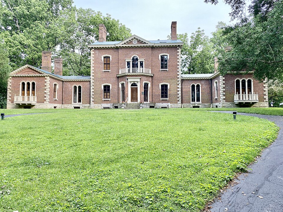
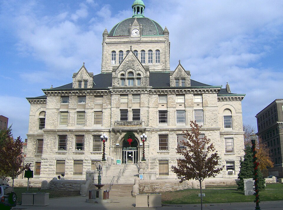
Kirklevington Park is one public-space option to investigate for current facilities and events. As with any park, check city information for entrances, amenities and scheduled uses before heading over. The first photograph on this page shows Veterans Park elsewhere on the south side, not Kirklevington Park. Commons does not currently offer a suitable photograph of Kirklevington, so this page does not pretend otherwise. The second image, Ashland, is an east-side historic comparison, not a view of 40517.
How to read the district
Development from different decades meets along the south side. Some streets have the feel of long-established residential neighborhoods, while commercial routes are more car-oriented. Spend a little time with a map before crossing between them on foot. A shopping center can appear close to a park but be separated by a wide road or limited crossings. For a relaxed visit, make one area the focus instead of using the ZIP as if it were a compact walking district.
Names such as Zandale and Tates Creek carry local meaning, but their boundaries are not defined by postal service lines. That is why a useful guide should describe places and directions without claiming one uniform neighborhood identity. Ask residents about specific blocks and local institutions if you want a deeper understanding. Public libraries, parks and community calendars can offer more grounded information than a broad area label. Respect that most of this ZIP is where people live, not a staged sightseeing route.
A practical visit
For an afternoon, choose an actual park, check its amenities, then plan a meal at an open local business. If a particular sport or playground matters to your group, verify it on the city's park page rather than assuming every green space has the same facilities. Drivers should allow extra time near schools at pickup and drop-off. Visitors using transit should check the exact stop and timetable, since a route serving the Tates Creek corridor may still leave a long walk to a side-street address.
To put the area in context, compare the south-side recreation pictured here with the historic estate pictured farther north. They are real Lexington places, but they are intentionally not mislabeled as photos of Kirklevington or Zandale. As Commons gains more neighborhood-specific imagery, the gallery can be improved. In the meantime, the most useful information is candid: 40517 is a lived-in area with parks and services, connected by busy corridors. Start with an exact destination, choose a safe route and give yourself time to discover the places between familiar road names.