Brighton & Man o' War
South-side neighborhoods around Man o' War Boulevard, with parks and everyday local services.
ZIP boundaries are for mail delivery, not official neighborhood borders. Nearby landmarks are labeled as such; always check an address before visiting.

South-side recreation
Veterans Park is a recognizable public destination on this side of Lexington. It offers a reason to spend time outdoors instead of experiencing the area only from Man o' War Boulevard. Check the city park listing for current trails, sports facilities, accessibility and event notices; conditions and uses can change. The tank pictured here is a real feature at the park, but it is not a picture of every trail or play area. Leave time to explore the parts of the park that suit your group rather than assuming a single photo stop covers it.
Residential neighborhoods around the southern arc of Man o' War have a different feel from older close-in streets. Many blocks reflect later suburban development, with winding streets and neighborhood facilities alongside faster connecting roads. Some amenities are private to residents. For a visitor, public parks and businesses are better starting points than a tour of private cul-de-sacs. If you are walking or cycling, plan a specific route and check where safe crossings exist before leaving home.
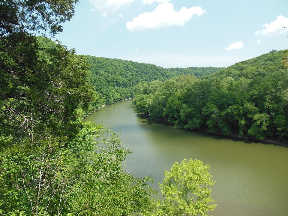
A city-edge landscape
The broad south-side road network links shopping, neighborhoods and recreation, but it can obscure the smaller differences between places. Move away from the main routes and you will encounter quieter local streets; continue outward and the scenery starts to open up. That mix makes a park visit a useful way to get oriented. Raven Run in the second photo is a real protected nature area farther southeast; follow its official trail rules and hours rather than assuming every natural area allows the same activities.
There is more to this part of town than one neighborhood label. Hartland, Brighton and other names are often used in southwest and south Lexington, while the ZIP extends across areas with different histories. Postal codes describe deliveries, not cultural boundaries. When making plans, use a park entrance or business address rather than an assumed neighborhood center. For newcomers, this is also a chance to notice how local roads meet wider arteries: a trip that looks short geographically may involve traffic or a roundabout route.
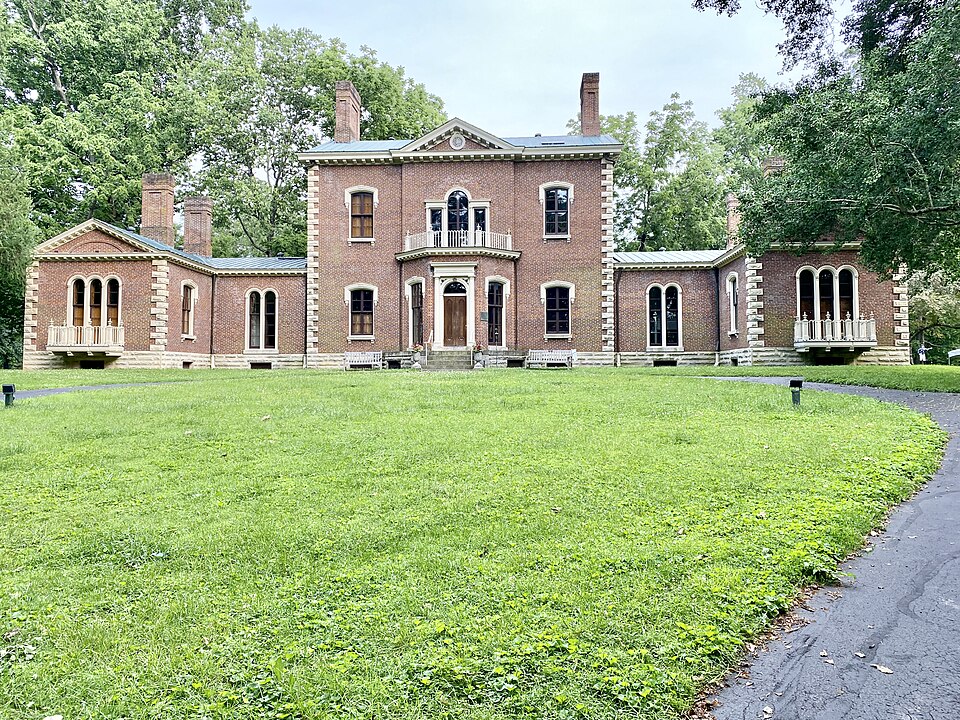
An outing that works
Choose a morning or late afternoon in warm weather for a comfortable park visit. Bring water and footwear suited to the paths you plan to use. Afterward, pick a nearby public food or shopping stop using current listings rather than assuming the nearest commercial area is walkable from the park. If an organized sports event is underway, parking and trail activity may differ from a quiet weekday. Confirm what is available through the city before promising children a particular feature.
Visitors who want a broader view can compare Veterans Park with Masterson Station Park to the north or the historic Ashland area closer to town, but those are separate trips. The two photographs on this page are labeled to avoid confusing landmarks with generic neighborhood images. What makes 40515 useful is its blend of everyday residential life, public recreation and access across south Lexington. Approach it with a specific destination and enough time to enjoy it rather than rushing between roads.