Harrodsburg Road Corridor
The southwest corridor around Harrodsburg Road, with residential streets, services and routes toward the county edge.
ZIP boundaries are for mail delivery, not official neighborhood borders. Nearby landmarks are labeled as such; always check an address before visiting.
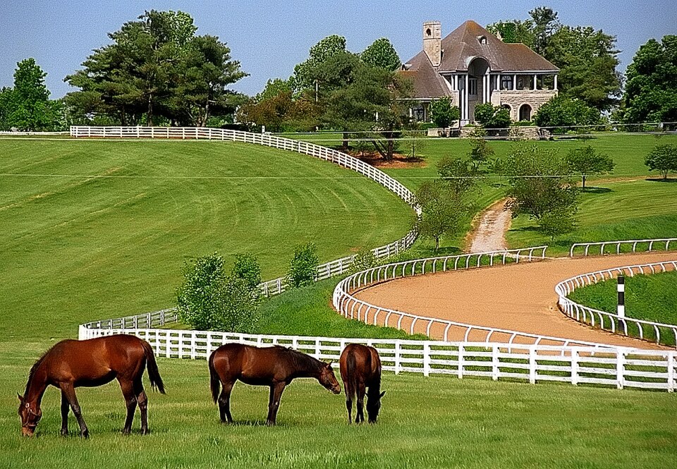
Along the southwest corridor
This ZIP is best understood as part of Lexington's southwest-side network of residential streets, services and trips along Harrodsburg Road. It is less a compact sightseeing district than an area people use for daily travel. Begin with an exact address for any visit, since similarly named neighborhoods and shopping centers can fall in neighboring postal zones. Main roads are useful for reaching other parts of town, but a short map distance does not always translate into an easy walk across wide intersections.
The area rewards a slower look at how the city meets its outer edge. Developed streets give way to quieter roads and a wider landscape as you head out of town. Watch for the change in building sizes and parcel shapes, but stay on public roads: horse farms and rural homes are private. If you want outdoor time, identify a public park with facilities rather than pulling into a roadside field. The images here show Donamire and Manchester farms in the wider Lexington area; neither purports to be a photograph of a 40514 block.
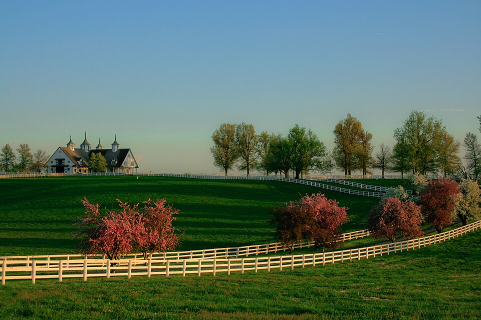
Reading a changing place
Unlike the downtown core, the southwest corridor developed around repeated car trips: school runs, work journeys, shopping and appointments. That pattern explains both its convenience and its challenges for visitors without a vehicle. Shops may appear close together on a map while the actual route between them involves multiple large parking lots or a difficult road crossing. Build a plan around a small number of useful stops. Check transit service for the exact addresses you need rather than treating the entire ZIP as one walkable destination.
This is also a good area for comparing the city's different eras of growth. The pictured horse farms represent the surrounding county landscape, not an attraction within the shopping corridor. Neither is a substitute for learning the actual 40514 streets, but together they clarify how varied Lexington is across a short drive. If you are interested in specific neighborhood history, local archives and community groups will offer more detail than a postal boundary ever can.

Practical first visit
Plan around your purpose: a local meal or service, a visit with friends, or a route toward the county edge. Look up current hours and parking rather than relying on a generic itinerary. If a park trip is part of the day, confirm the park name and location separately; multiple facilities in southwest Lexington have similar descriptions. Summer heat makes shaded walking routes especially valuable, and a wet day can change trail conditions. Major roads require careful crossing even when there is a signal.
40514's value as a guide lies in honest orientation. It is not necessary to invent a famous attraction for every ZIP to make it useful. Knowing that this is a corridor-oriented part of town helps you decide whether to pair errands with a neighboring park, a historic stop in another district, or a rural drive beyond city limits. The photo captions clearly identify those nearby places. For local businesses, consult the directory; for addresses, use a current map. That approach respects both the area's everyday life and the visitor's time.