Beaumont & Palomar
Southwest-side neighborhoods and businesses around Beaumont Centre and Harrodsburg Road.
ZIP boundaries are for mail delivery, not official neighborhood borders. Nearby landmarks are labeled as such; always check an address before visiting.
Life around Beaumont Centre
Beaumont Centre is the natural reference point for this southwest-side ZIP. It brings together shops, services and places to eat without being a historic downtown-style district. Many errands can be combined into one trip, but the distances and road layout favor planning individual stops rather than assuming every destination is an easy stroll. Check current tenant information and hours before making a special journey. Around the commercial center are residential streets, offices and community spaces, each with a different pace from the main shopping corridors.
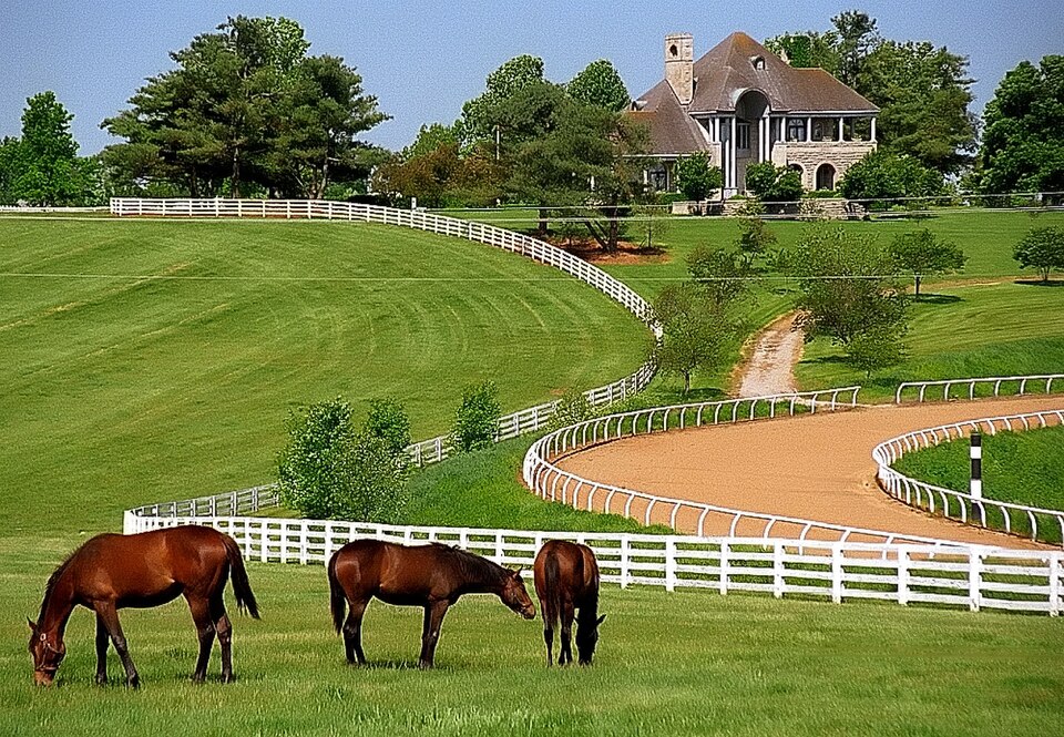
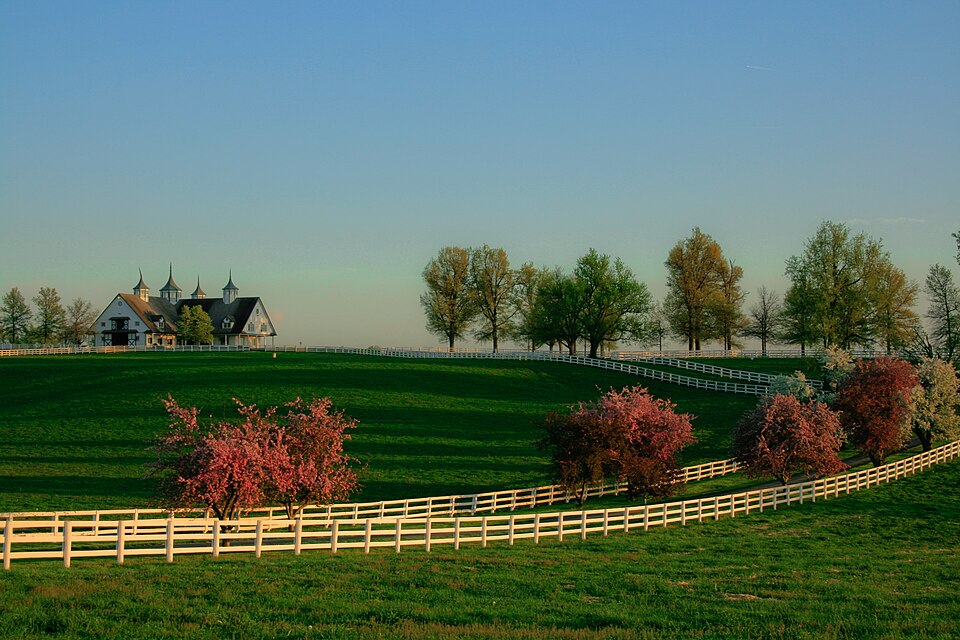
Palomar and other southwest-side neighborhood names often appear in conversations about the area, though mailing boundaries are not the same as neighborhood edges. If you are visiting friends or a specific business, use the full address. Residential amenities may be for residents only; choose public spaces for an outing. The Commons photographs here show horse farms elsewhere in the Lexington area—Donamire and Manchester—because Commons does not currently provide suitable photos of Beaumont itself. They illustrate a citywide contrast, not the appearance of this ZIP.
Connections and context
Harrodsburg Road is a principal way into and out of the area. It connects toward central Lexington in one direction and farther south in the other, but traffic conditions can change the practical travel time considerably. Beaumont's relatively recent development is visible in wider roads, larger parking areas and planned residential blocks. Compare that with an older commercial street such as Southland Drive to see how the city's outward growth altered the way people shop and move around.
The southwest side also offers access toward Blue Grass Airport and the broader horse-country landscape, though neither should be treated as an attraction within Beaumont Centre. If you want a horse-focused visit, plan a separate trip to an established public destination such as Keeneland or the Kentucky Horse Park, checking events first. If you simply want to understand the area, spend time at a local business and notice the everyday pattern of offices, homes and services. That ordinary mix is more representative than a postcard view.
Plan around your purpose
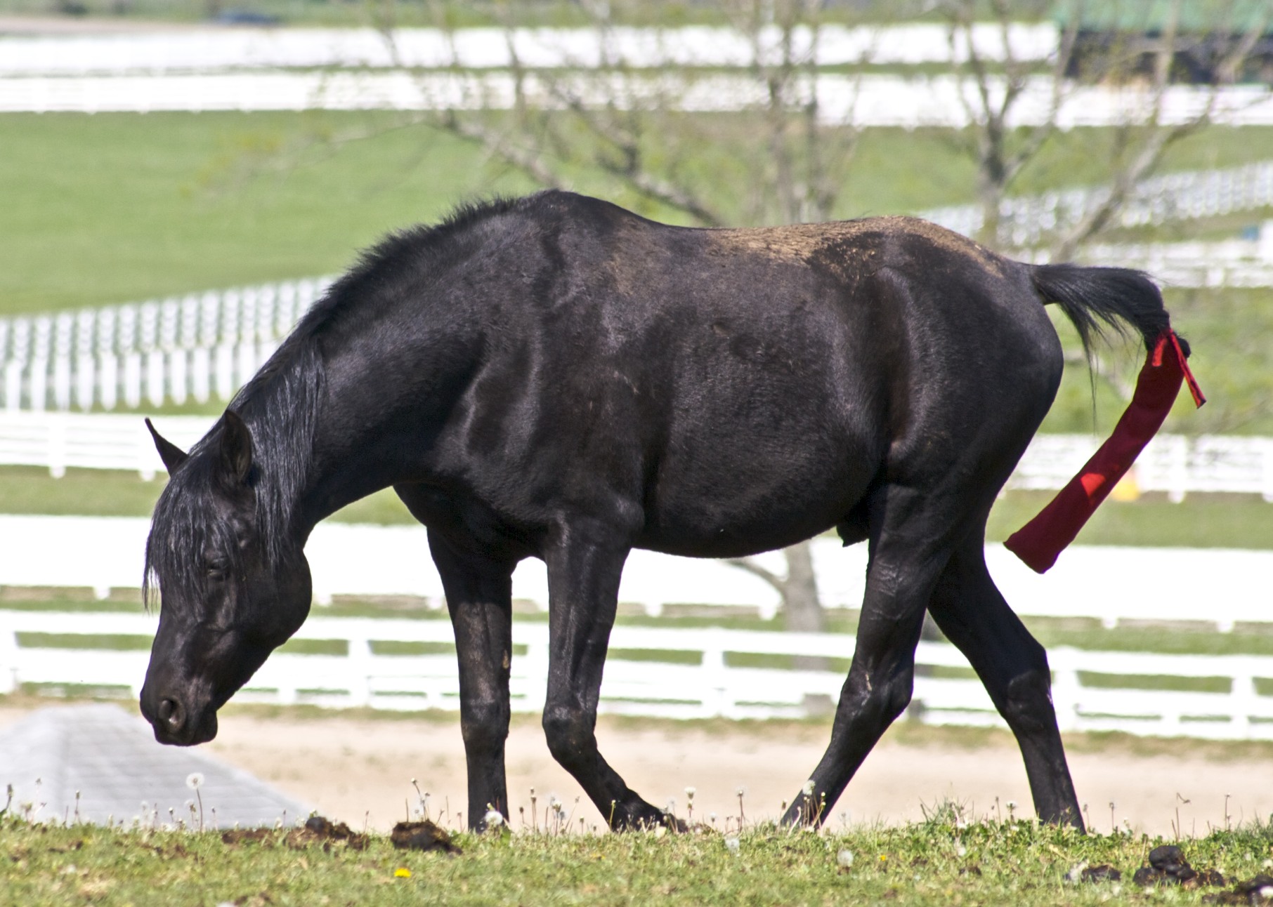
An easy afternoon might include lunch, an errand and an outdoor stop at a public park selected for the facilities you need. Verify trail access, opening times and parking for that park; the two horse-farm photographs shown here are of other parts of the area and are not directions to a Beaumont park. Families should check whether an event is public before going. Drivers should allow extra time at major intersections during commuter periods and on shopping weekends.
This guide deliberately avoids claiming that a representative city photograph shows a specific 40513 street. As more appropriately licensed local photography becomes available, the gallery can become more precise. For now, use the guide for orientation and the labels for truthful visual context. If a particular destination is your goal, its address, current website and public access information are more reliable than a broad ZIP description. That is especially important in an area where similar-sounding neighborhood names and adjacent postcodes can easily be mixed up.