Northeast Lexington & Winburn
Community parks, older neighborhoods and the Castlewood arts landmark north and east of the center city.
ZIP boundaries are for mail delivery, not official neighborhood borders. Nearby landmarks are labeled as such; always check an address before visiting.
Art and public space
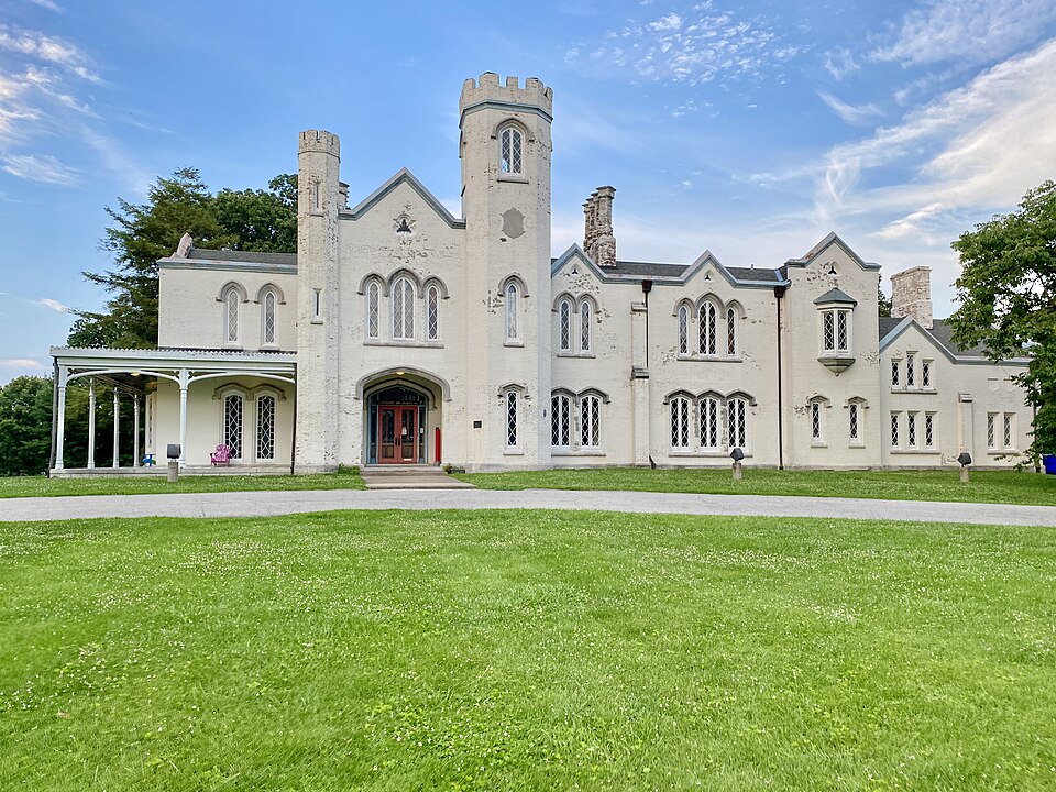
Castlewood Park and the Loudoun House provide a useful introduction to the north and northeast side. The Gothic Revival house is a distinctive local landmark associated with the Lexington Art League; look up current exhibitions and public access before planning a visit. Its setting in a park makes it possible to combine art with time outdoors. Rather than using the house as a shorthand for the entire ZIP, continue along nearby public streets to see how the area changes from parkland to residential blocks and small commercial corridors.
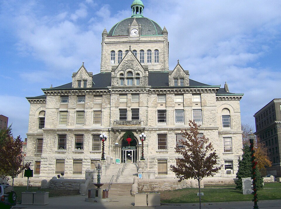
Douglass Park is another important community place. It is not interchangeable with a generic green space: generations of Lexington residents have used it for recreation and gatherings, and the surrounding area's African American history deserves attention on its own terms. A visitor should approach the park as a shared public space, not as a backdrop. Check city information for facilities, events and access. The old courthouse shown in the second image is downtown and is included as a geographic comparison, not as a 40505 landmark.
Neighborhoods with distinct stories
40505 spans several corridors rather than a single uniform neighborhood. Russell Cave Road, Georgetown Street and the areas toward New Circle Road have different building patterns and daily uses. Older houses closer to the center of town give way to later subdivisions and employment sites farther out. That variety makes a slow, destination-based visit more useful than a drive-by survey. Choose a park, gallery or local business and explore its immediate surroundings, keeping in mind that residential streets are not tourist exhibits.
The East End and other historically Black neighborhoods near central Lexington connect this part of the city to broader stories of work, community institutions and change. Those stories cannot be reduced to architecture alone. If you want to learn more, look for local history projects, public art and community-led programming, and listen to the people who maintain these places today. Development and road building have changed portions of the area over time; a modern map will not tell the whole story. Avoid assuming that ZIP boundaries match the identities residents use.
Getting around thoughtfully
The main roads make it possible to reach this side of town from downtown or the interstate network, but they are not equally comfortable for walking. Pick a specific destination and review the crossing conditions around it before starting on foot. If you are visiting Castlewood Park, leave time to enjoy the grounds rather than just the house exterior. Families can check park amenities with the city; arts visitors can look for the gallery's calendar. Those two approaches give a fuller picture than a single photo stop.
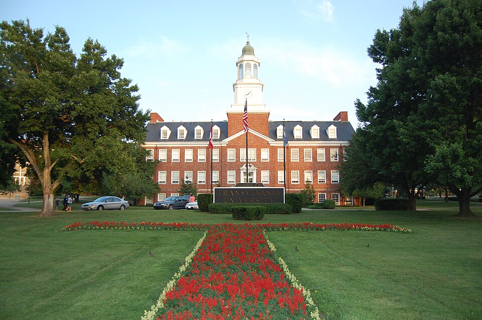
For a wider day, combine north-side arts and parks with a separate downtown history stop, pictured in this guide, or a visit to the 40508 university area. Distances that look short on a map may cross busy streets. Opening hours, exhibits and park events change, so use the organizer's current information for time-sensitive plans. What remains constant is the area's mix: community gathering places, historic institutions, residential streets and working corridors, each deserving more than a passing label.