Southland & Gardenside
Established neighborhoods around Southland Drive, older storefronts and south-side connections.
ZIP boundaries are for mail delivery, not official neighborhood borders. Nearby landmarks are labeled as such; always check an address before visiting.
A local corridor, not just a shortcut
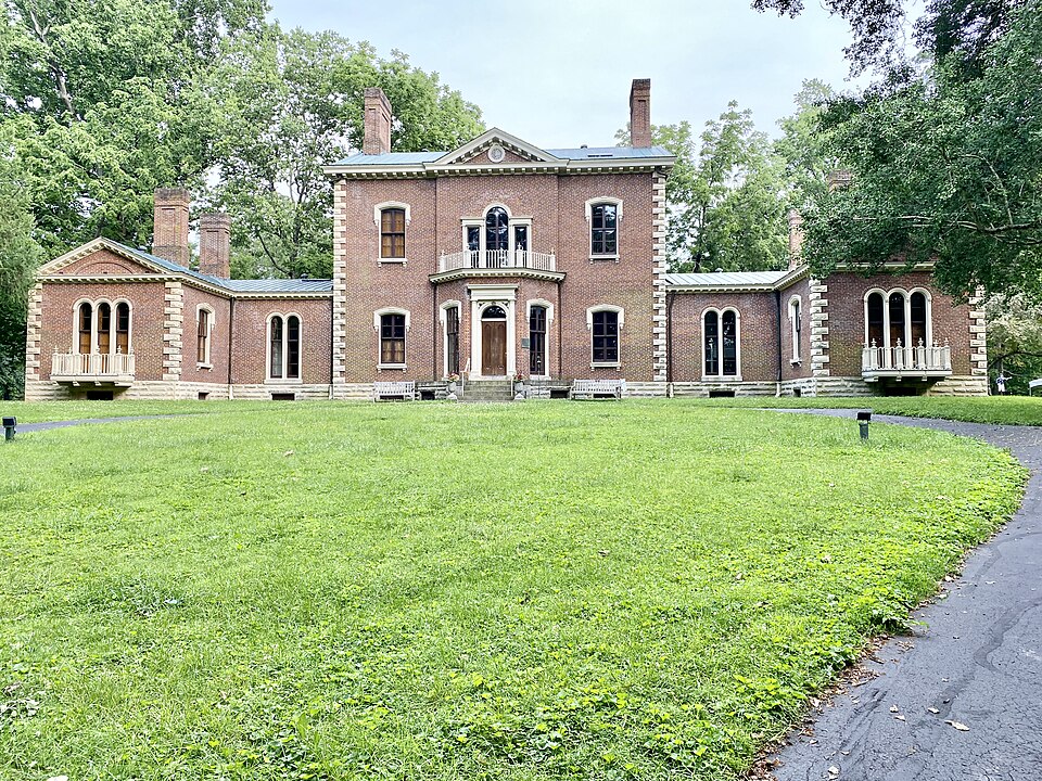
Southland Drive is the place to begin if you want to understand the everyday character of this part of town. The road's older storefronts, neighborhood services and food stops create a different rhythm from the larger retail centers farther south. Instead of racing through, pick a short stretch, park once where permitted, and explore a few independent businesses. The best experience depends on what is open that day; a market, live event or seasonal vendor may change the feel of the street entirely. The images here show historic and park landmarks elsewhere in the city, not Southland Drive itself; Commons has limited photography of the corridor.
Away from the main road, Gardenside and other established residential streets offer a look at Lexington's postwar expansion. Homes and lots vary, but the general shift from small commercial blocks to winding neighborhood streets is easy to see. These are private residential areas, so walking should remain on public rights-of-way. For an outing with children, favor an established public park instead of treating neighborhood lawns as a sightseeing destination. Traffic increases near the larger routes and shopping intersections, especially around commuting hours.

How the area fits together
The 40503 mailing area is more than a single named neighborhood. Southland, Gardenside and the Nicholasville Road side of south Lexington meet here in ways that do not follow a neat tourist map. Southland's smaller-scale businesses are a useful counterpoint to the shopping centers along Nicholasville Road. If you need groceries or errands, the wider corridor is convenient; if you want to get a feel for the area, start with a local storefront rather than a chain parking lot. Crossings can be long on the larger roads, so plan separate walking stops rather than trying to cover the entire ZIP on foot.
Much of the area developed as the city expanded outward during the twentieth century. That helps explain why the streetscape changes so noticeably in a short drive. The older neighborhood business strip predates many of the bigger shopping destinations, and residential blocks provide a quieter backdrop. Watch for the transition in building size and street width as you move from Southland toward the more car-oriented thoroughfares. Architecture here is often ordinary in the best sense: homes, schools, parks and small businesses that show how the city works between headline attractions.
An easy half day
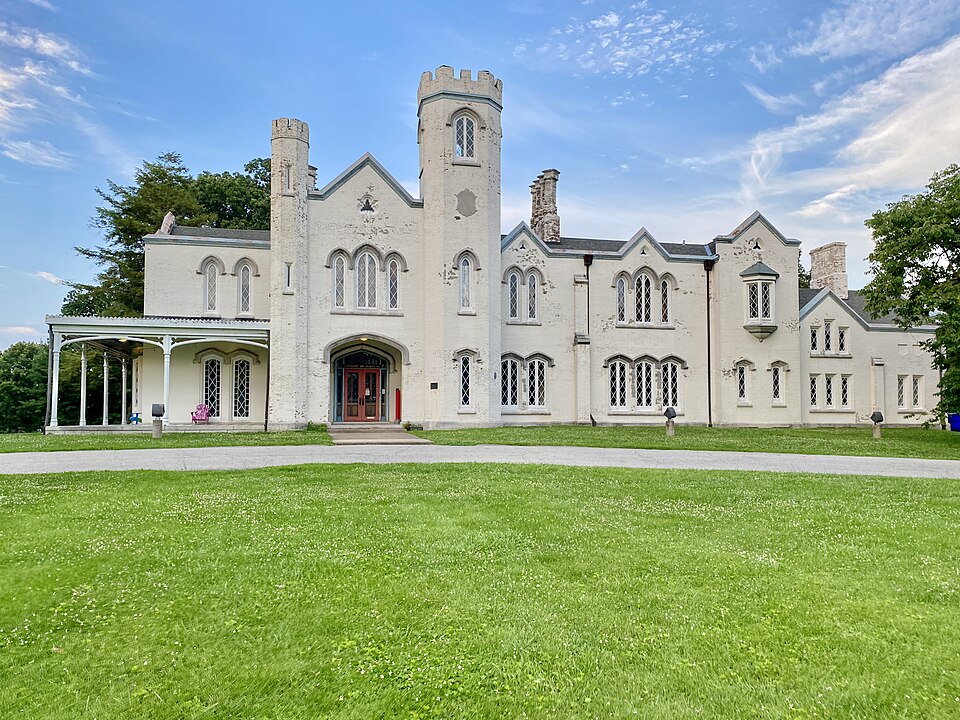
Build a simple itinerary: coffee or lunch near Southland Drive, a browse through a locally owned shop, and a green-space stop elsewhere on the south side. Veterans Park, pictured here, is a south-Lexington option rather than a landmark inside every part of 40503. Ashland, also pictured, belongs to the neighboring historic district and makes a good contrast if you want to compare different eras of development. Always check the exact address and current opening hours before setting out; a ZIP code is a mail-delivery label, not a neighborhood boundary.
If you are considering the area as a place to spend regular time, return on more than one day. A weekday errand run, a weekend market outing and an evening meal can reveal very different patterns. Look up bus service and safe crossings for your exact destination rather than assuming all of south Lexington is equally walkable. This is a good ZIP for visitors who prefer the routines of a lived-in city to a single must-see attraction: the value lies in the mix of local services and long-established neighborhoods.