Hamburg & Andover
Lexington's east-side shopping hub at Hamburg Pavilion and the residential streets around Andover.
ZIP boundaries are for mail delivery, not official neighborhood borders. Nearby landmarks are labeled as such; always check an address before visiting.
An east-side base
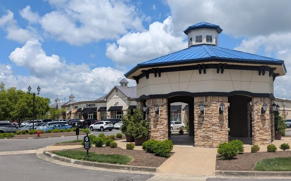
Hamburg Pavilion is one of the most visible reasons people travel to this side of town. It is a large shopping and dining district rather than a traditional downtown street: plan for driving between some stops, wide intersections and substantial parking areas. If you want to browse several stores, group them by location instead of trying to walk the entire corridor at once. The Pavilion shown in the first photograph is a real east-Lexington destination. Restaurant and store tenants change, so check a current directory before planning around a particular name.
Andover and other residential areas give 40509 a different, quieter character away from the retail core. Some streets were designed around cars, and many recreational amenities belong to private neighborhoods. For a public outing, pick a designated park or shopping area rather than wandering into restricted facilities. The east side is also a practical starting point for visitors arriving from the interstate. That convenience is real, but it should not obscure the variety of local streets beyond the highway exits.
How the landscape changed
The name Hamburg connects today's commercial district to an older agricultural landscape. Like much of the city's outer edge, this part of town has changed substantially as roads, housing and retail grew outward. The juxtaposition matters: a large shopping center can be only a short drive from fields and quieter natural areas. Look at the road pattern for evidence of that transition. Major routes carry a lot of traffic, while smaller streets branch into newer neighborhoods with their own daily routines.
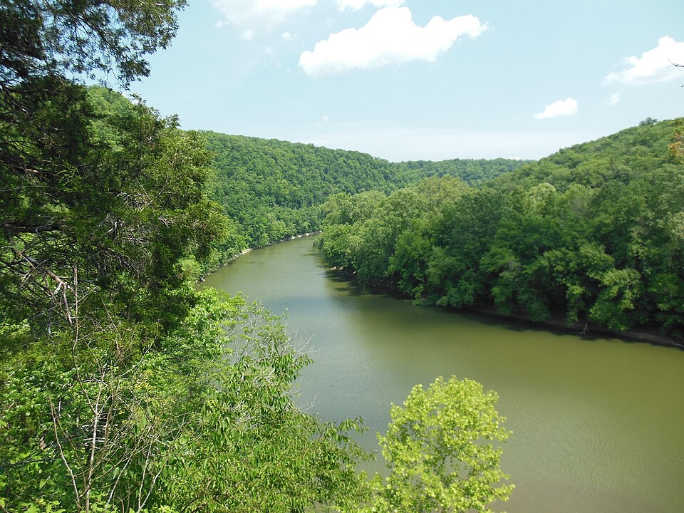
The Raven Run photograph shows a real protected landscape southeast of the city, not a site inside Hamburg Pavilion. It is included to show the broader eastern side's contrast with the retail center. Do not use an image caption as a substitute for directions: trails and protected areas have different access rules. For a walk outdoors, look up an established public park with posted access and facilities. The images are meant to distinguish places clearly, not to imply all attractions share one ZIP.
Make it useful
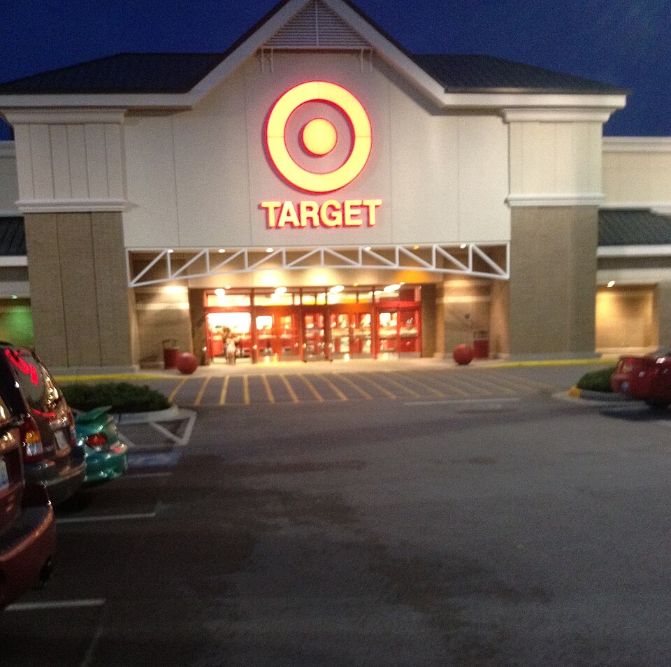
For a short visit, choose a meal and a specific shopping stop. For a longer one, add an east-side public park after checking its hours and trail conditions. If you are staying here, allow for traffic at busy intersections and test the actual travel time to downtown or the Kentucky Horse Park rather than judging distance from a map. Visitors with mobility needs should check the accessible entrance of each destination; broad parking lots do not automatically make every crossing easy.
40509 is an example of an area where a ZIP guide is most helpful for planning, not sightseeing. It tells you what kind of place you are entering: regional retail, residential pockets and routes outward toward the county edge. Business hours, roadworks and events can alter the experience on any given day. For live local options, consult the directory. For the deeper story, compare this east-side growth pattern with the older walkable core described in 40507 or the west-side industrial reuse in 40504.